The National Oceanic and Atmospheric Administration (NOAA) has released its annual May outlook for the 2024 Atlanta hurricane season and it’s a doozy. NOAA is predicting anywhere from 17-25 named storms, with eight to 13 becoming hurricanes, and four to seven of them being major hurricanes of Category 3 (111 mph sustained winds) or greater. This is the highest number of named storms ever predicted by NOAA – along with a whopping 85% chance that this upcoming season will be an above average one, more or less confirming the “explosive” hurricane season forecasted by AccuWeather and “extremely active” season by Colorado State University earlier this spring. Already turbulent hurricane conditions are being exacerbated by record-breaking water temperatures in the Gulf of Mexico and the 77% chance of La Niña forming from August to October, which generally reduces the wind shear known to cut down developing storms before they make landfall. All these factors combining means that this year’s season might blow last year’s singular continental hurricane, Idalia, out of the water – and Floridians need to be prepared.
FOX 13 Tampa Bay Meteorologist Britta Merwin has this timely reminder. “If you live on the coast, you have to be prepared to be impacted by a hurricane, and it only takes one … it doesn’t matter if it’s an overperforming year, or an underperforming year. If you get impacted, it will be the worst hurricane season you have been through”.
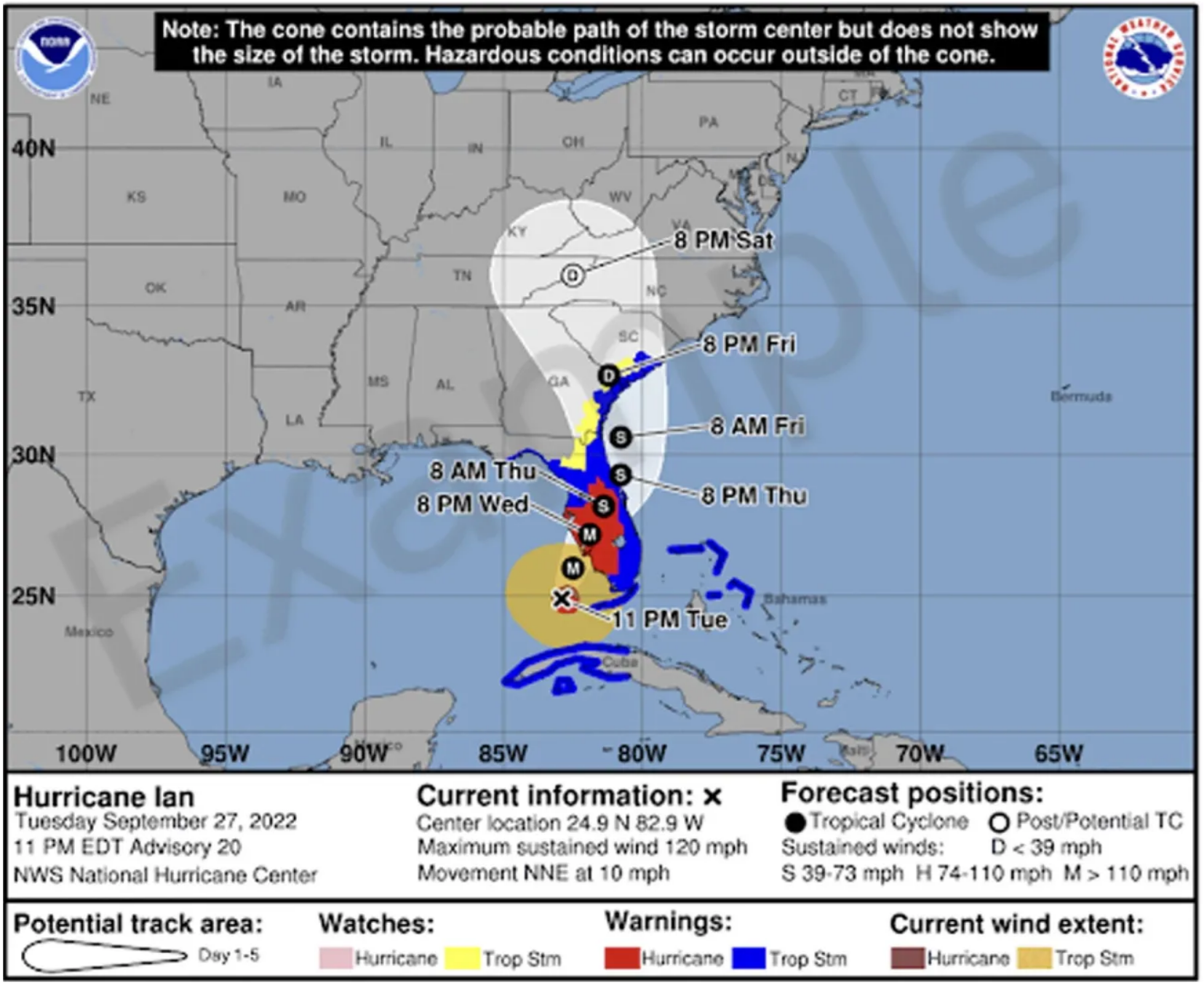
The National Hurricane Center’s experimental forecast cone will premiere in August 2024. Courtesy, NOAA
Along with its forecast, NOAA is premiering a new look (above) to the way we look at hurricane warnings and the traditional “cone of uncertainty” model. According to Ken Graham, director of the National Weather Service, that means more intuitive alerts and models that emphasize “the impact, not the category,” with a wider cone to show inland paths and impacts of hurricanes and alert the counties accordingly. Currently, only coastal counties get alerts for Gulf storms. With the new experimental cone model, people well outside the direct path of the storm can be notified and prepared for the strong winds and rains that occur many miles from the storm’s center. Other changes include the National Hurricane Center expanding watches and warnings updates to intermediate advisories, expanding tropical storm wind radius forecasts to five days, and NOAA’s new generation of Flood Inundation Mapping.
On a more positive note, “The waters of the Atlantic Ocean north of the Equator are warmer than just south of the Equator. That scenario tends to push storms more to the north, toward the east coast of Florida and above – and away from the Gulf of Mexico,” according to Colorado State’s senior research scientist Phil Klotzbach speaking to the Insurance Journal.